Get a bird’s eye perspective
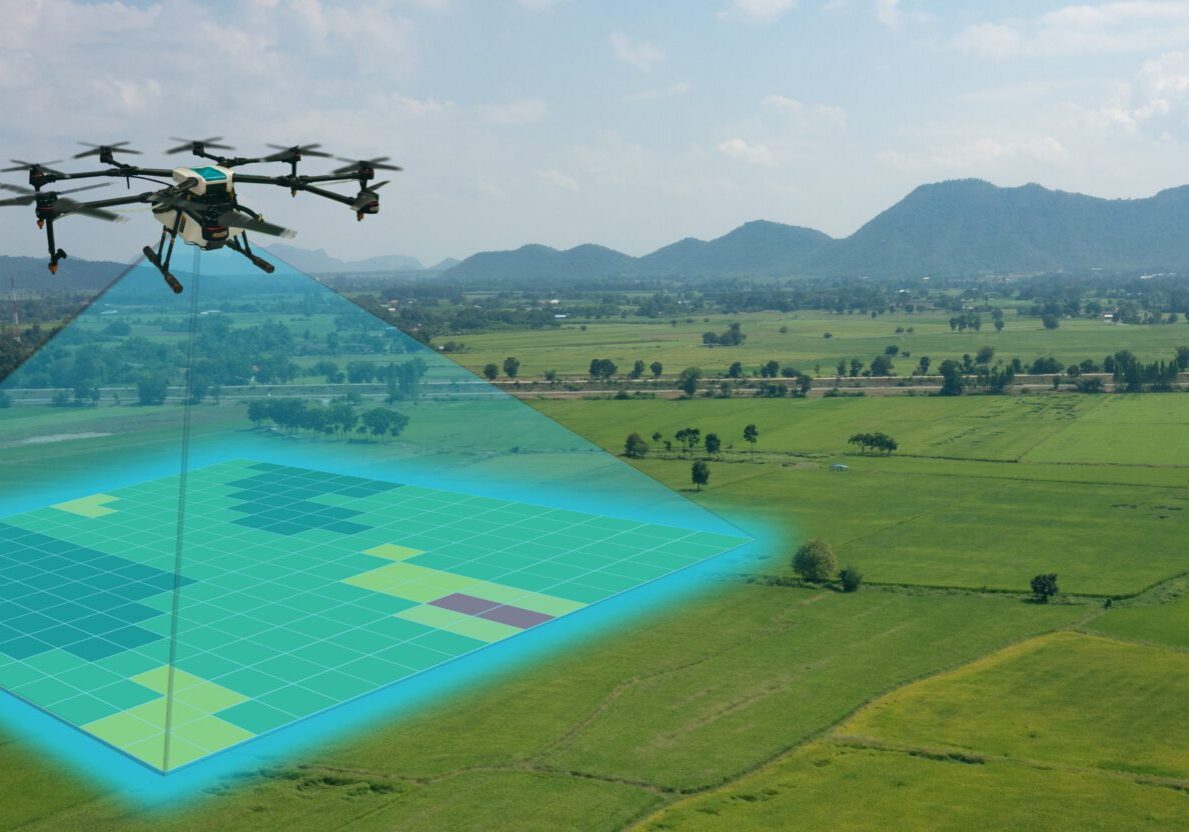
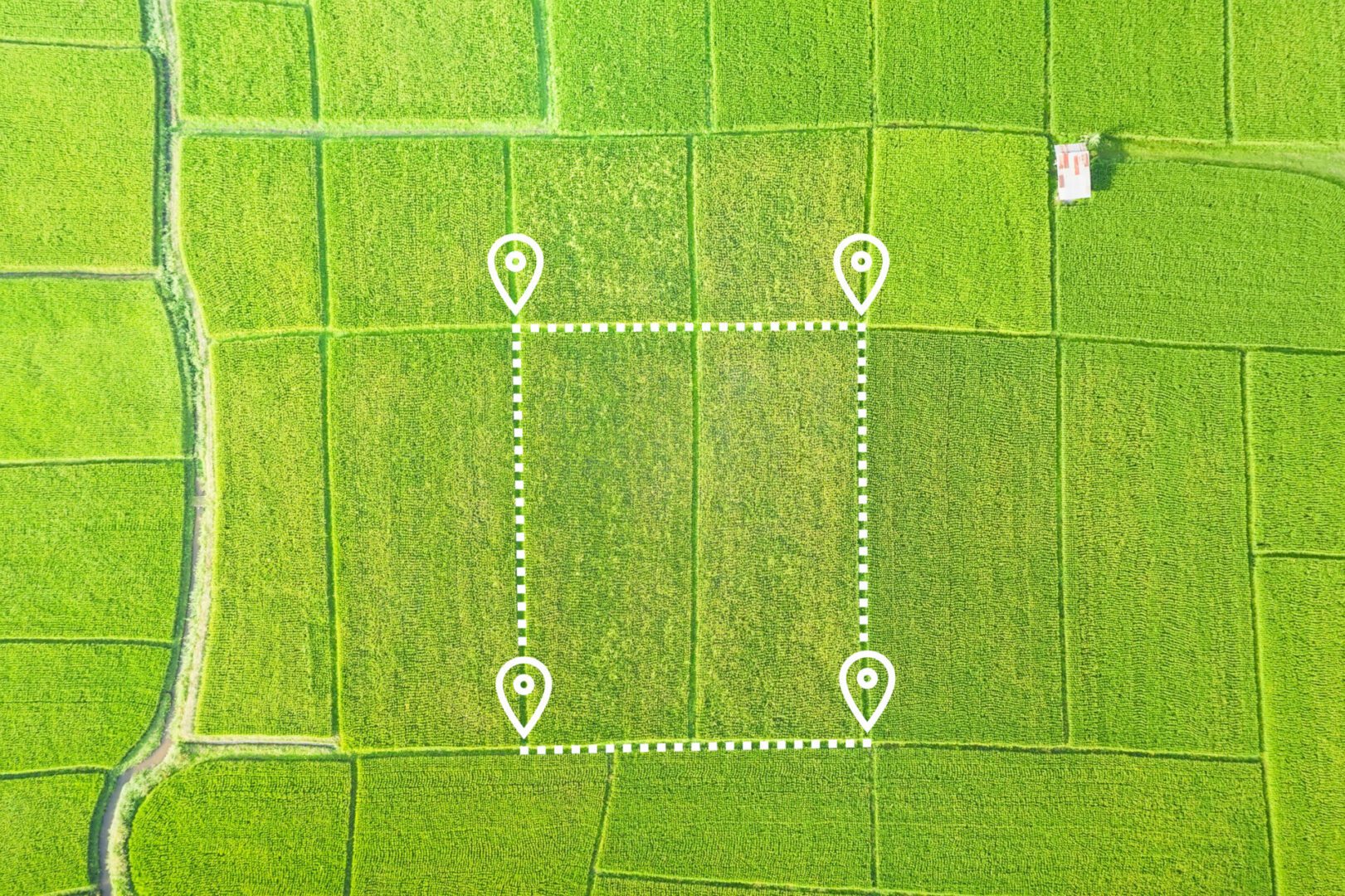
Get a high resolution overhead perspective of your property, roof, or jobsite with aerial mapping.
Aerial mapping and modeling allows you to easily measure distances, plan out your project with cut and fill analysis, and keep a permanent record of progress and installation. These services can be purchased on a one-time basis or on a monthly contract.
Process
Examples
This is a 2D orthomosaic map of a horse ranch. This map is compiled of 290 high resolution images stitched together for extreme detail.
This is a 2D orthomosaic map of a horse ranch. This map is compiled of 290 high resolution images stitched together for extreme detail.
Mapping allows us to create 3D models to show elevation changes and typography. This can be used for construction buildings as well.
Maps allow us to take volumetric measurements of stockpiles to better predict earthworks requirements.
Single Overhead Image
Orthomosaic image: This is a series of images taken and geometrically corrected to be scale and uniform, making one large image 2D or 3D.

