Industry Focus
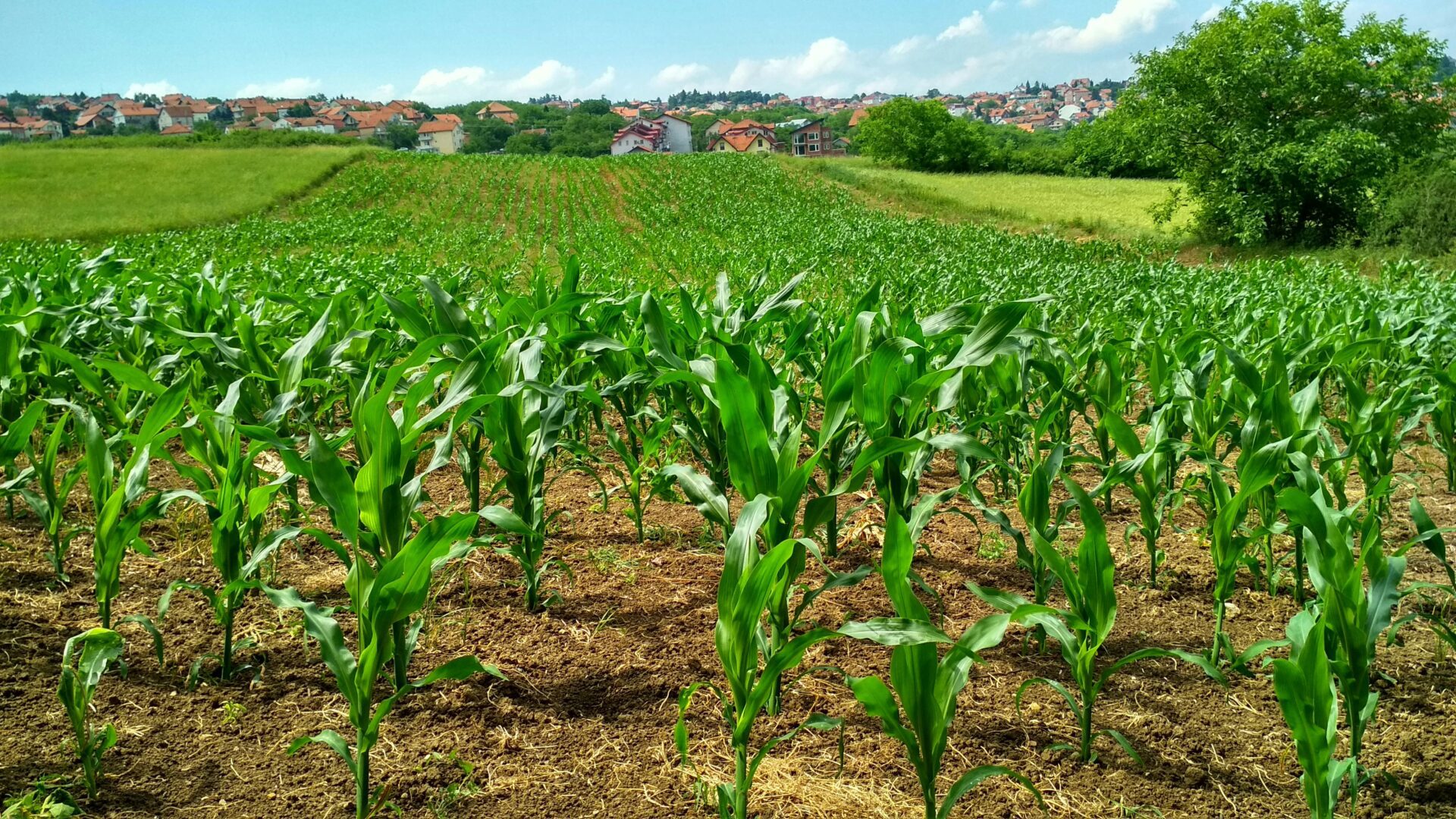
We specialize in mapping services tailored for the agriculture sector. Our maps simplify crop inspections and help identify problem areas related to drainage and drought.
Are you a farmland owner looking for a stunning piece of art for your wall? We’ve got you covered! Our drone photography services capture breathtaking images of your property, and we’ll provide a link for you to preview the photos along with printing options and sizes.

Specialties
Seasonal Inspections
Monitor your fields and track growth progress throughout the year.
Orthomosaic Maps
High-resolution maps created from hundreds of aerial images seamlessly stitched together.
Property Marketing
Enhance buyer interest and accelerate land sales with captivating aerial photos and videos.
Keepsake Photography
Order and print beautiful aerial photos to display in your home or to gift to a loved one.
